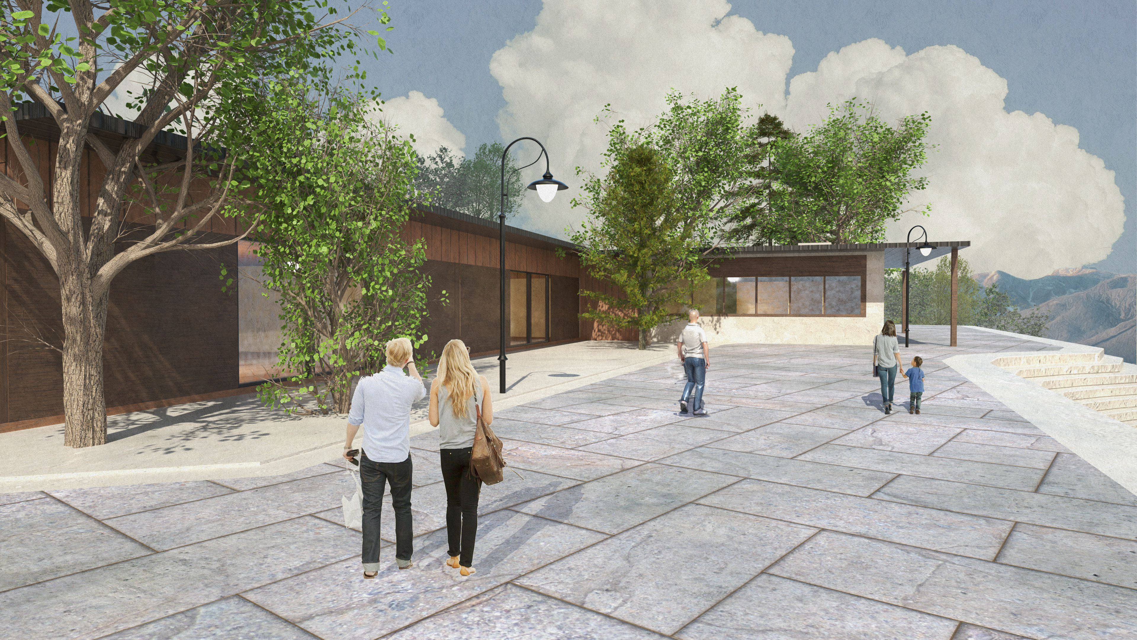
Blender & Photoshop Render.
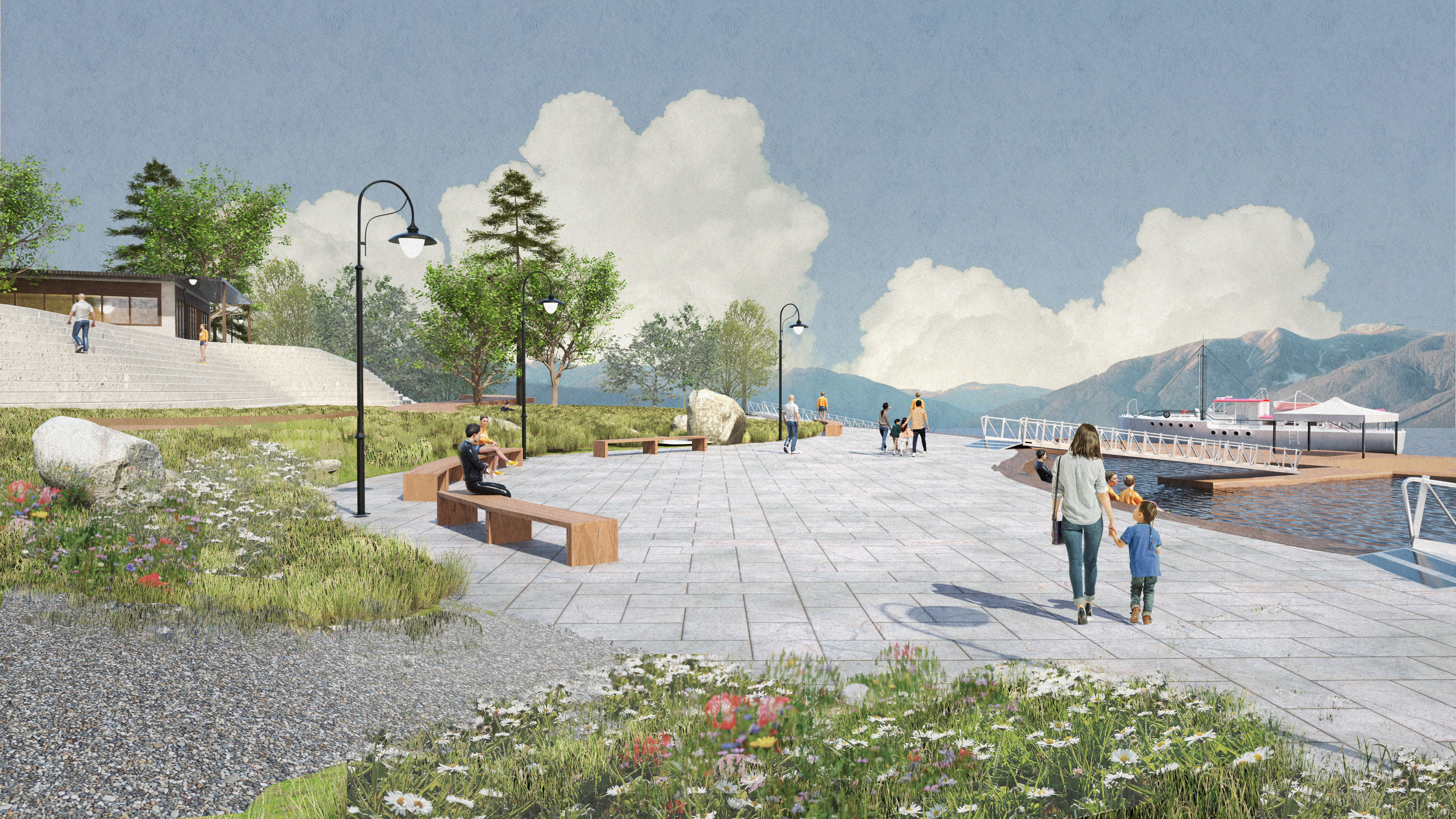
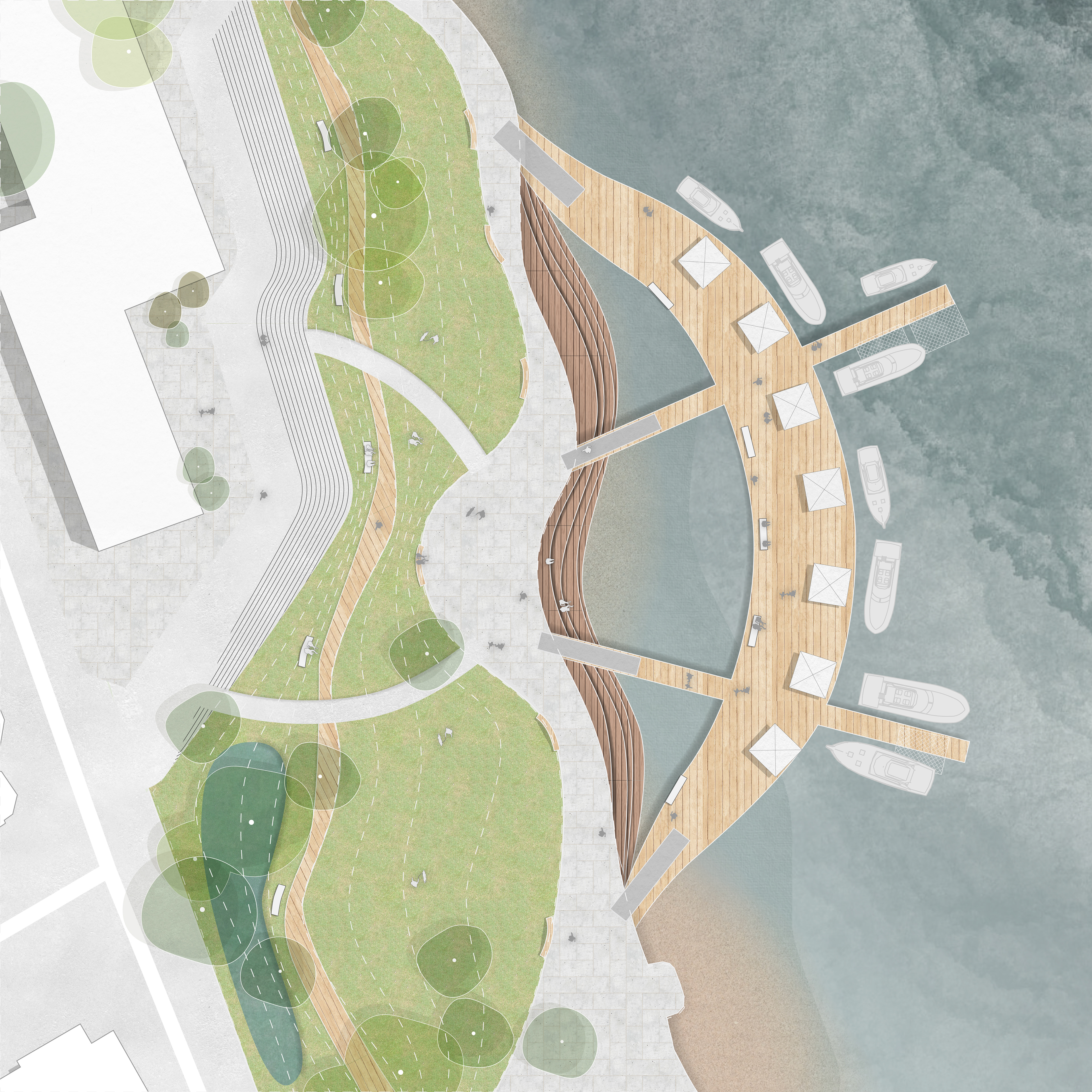
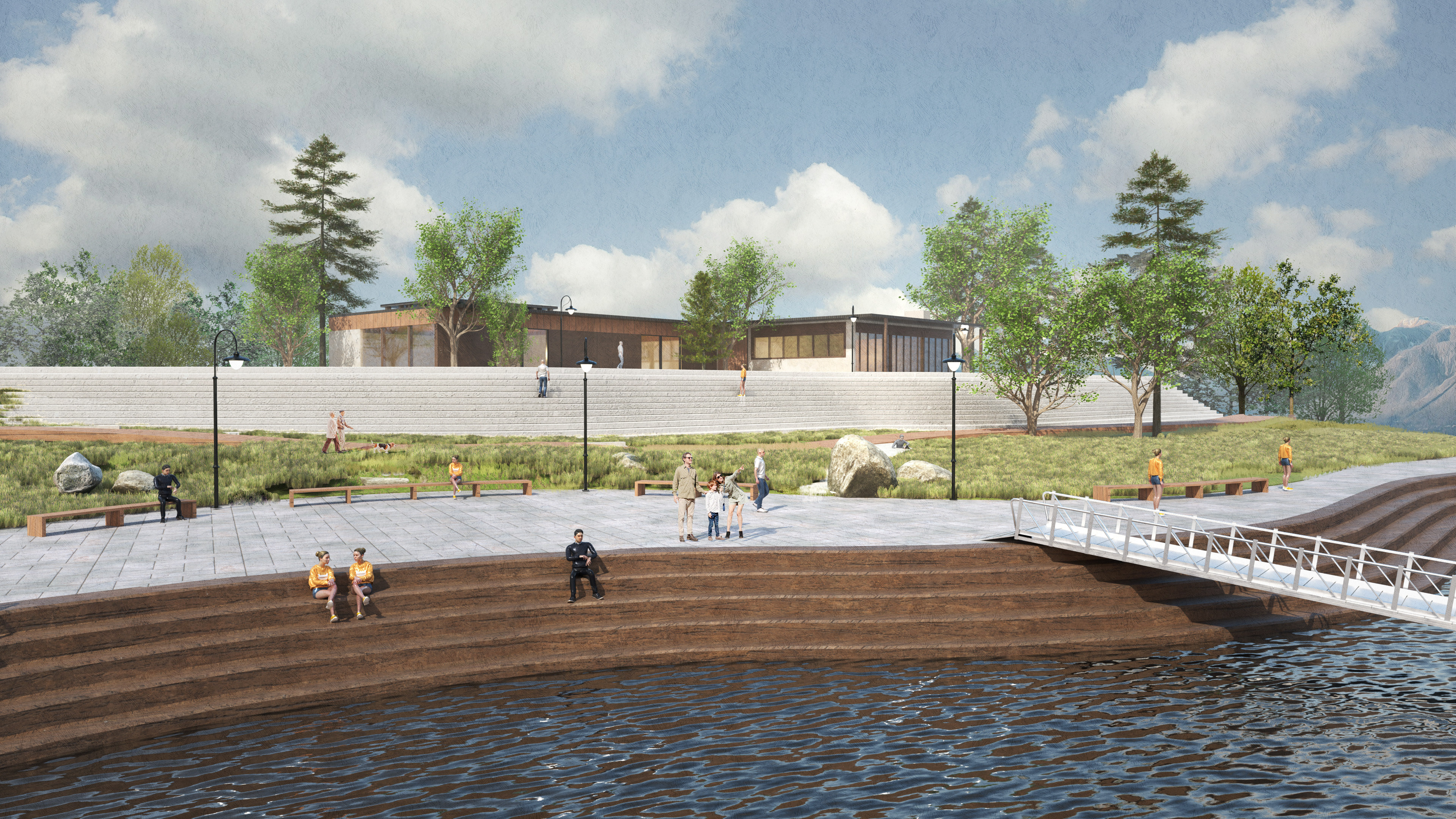
Fisherman's Wharf Patch Plan
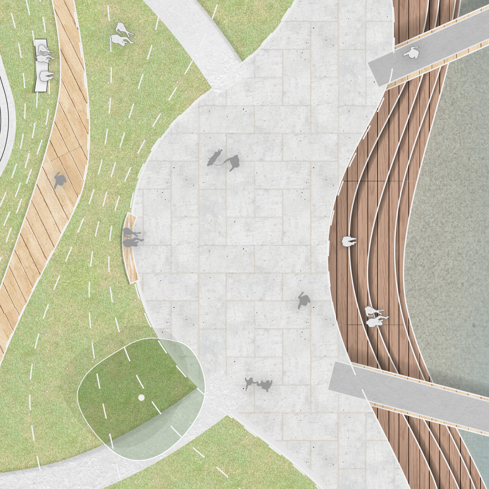
Fisherman's Wharf Detailed Patch Plan
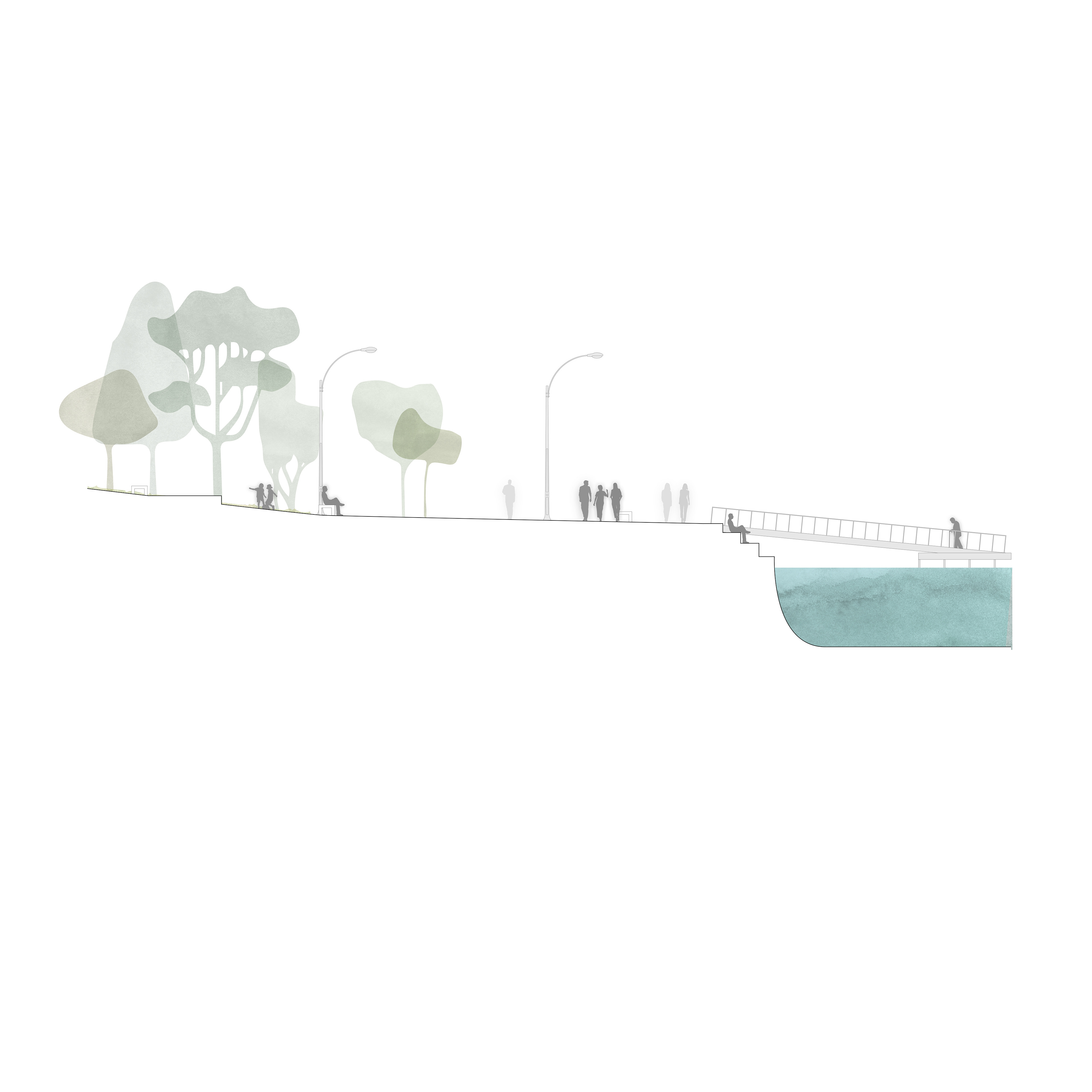
Fisherman's Wharf Patch Section
Diagrams
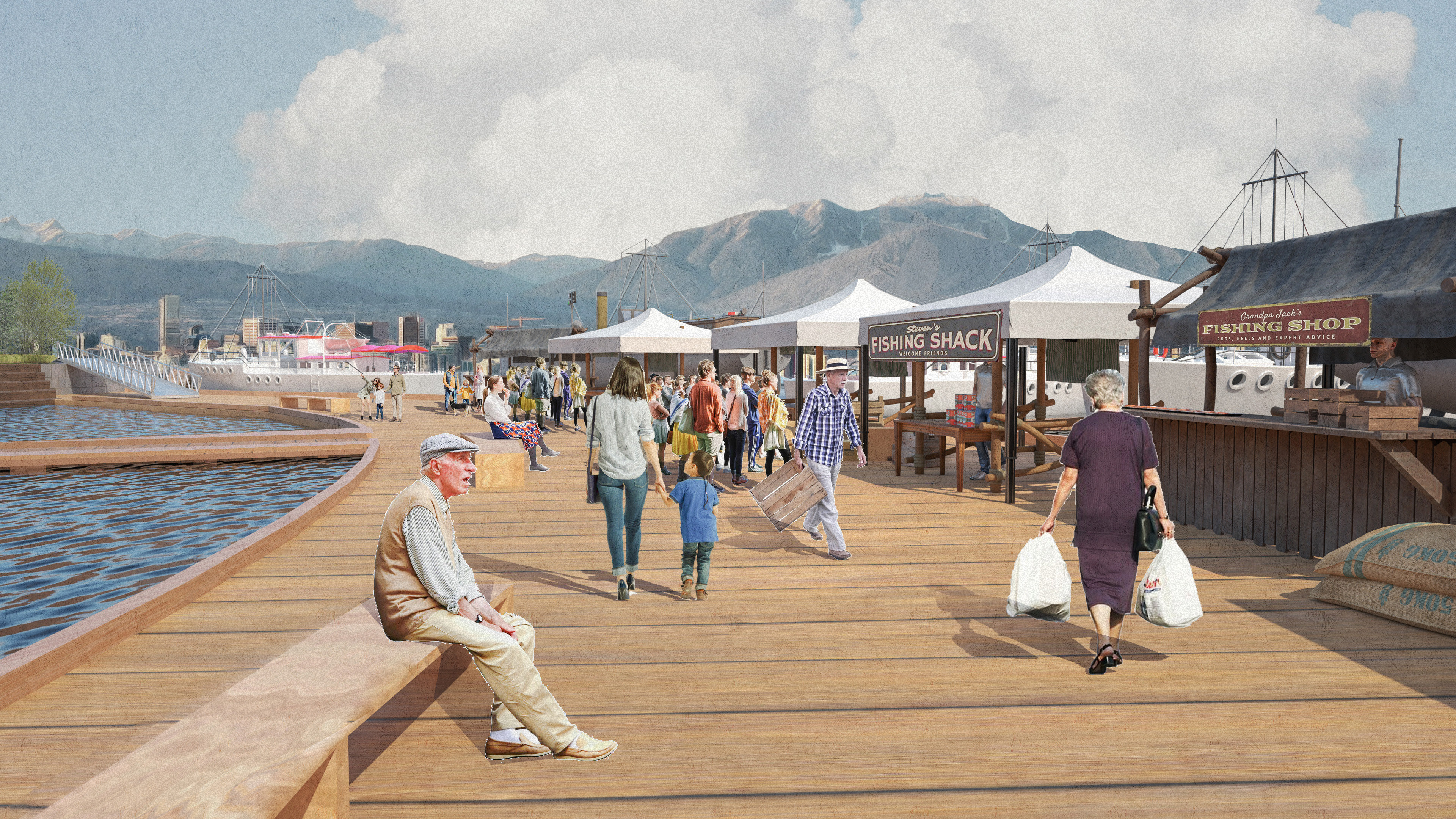
Diagrams demonstrating the programmatic use of both the present day and redesigned Fisherman's Wharf. We increased pedestrian access, access to low barrier recreation, and community engagement via the extended seawall, dock markets, and expanded park space.

Fisherman's Wharf | Present Day
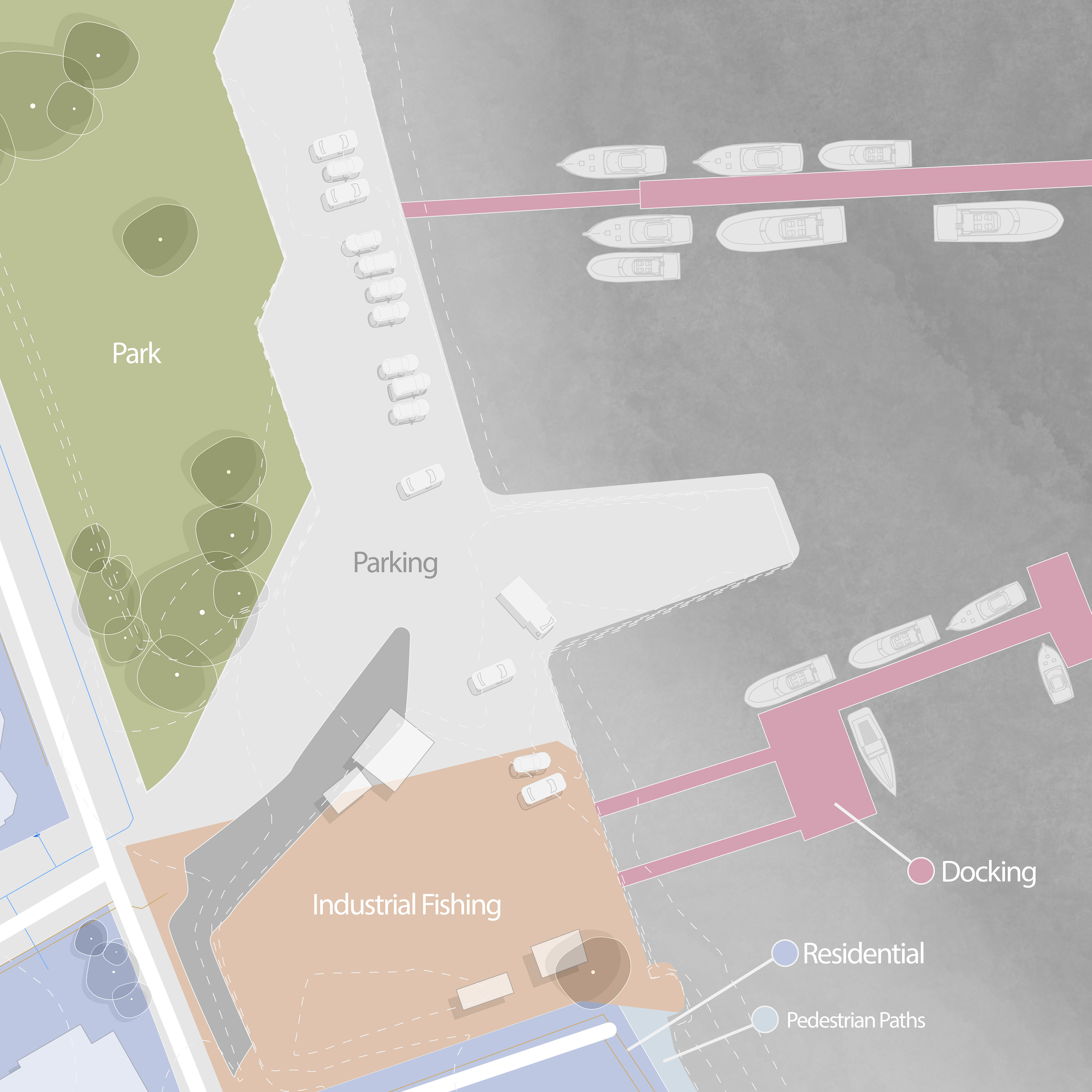
Fisherman's Wharf | Present Day Programmatic
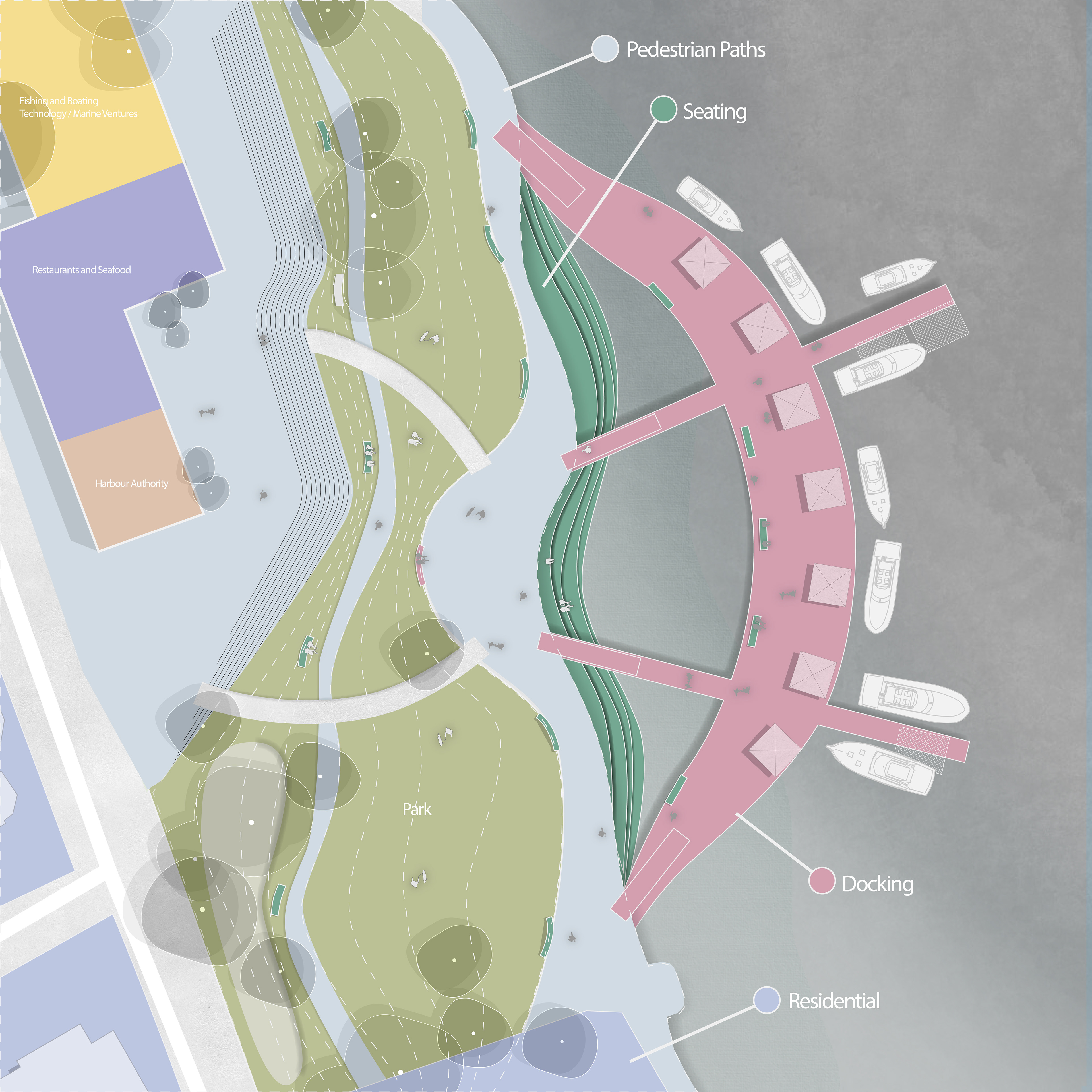
Fisherman's Wharf | Redesign Programmatic

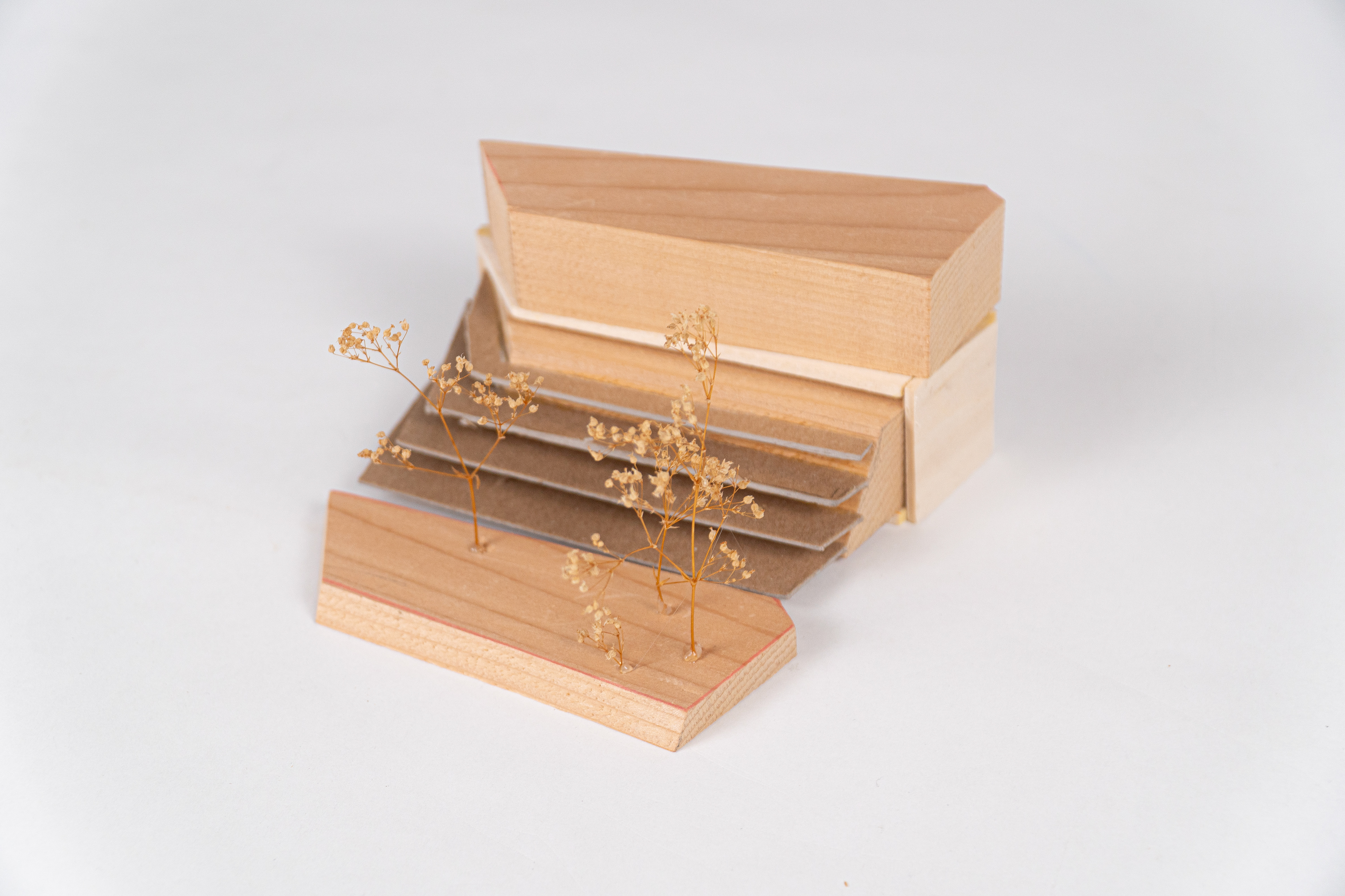
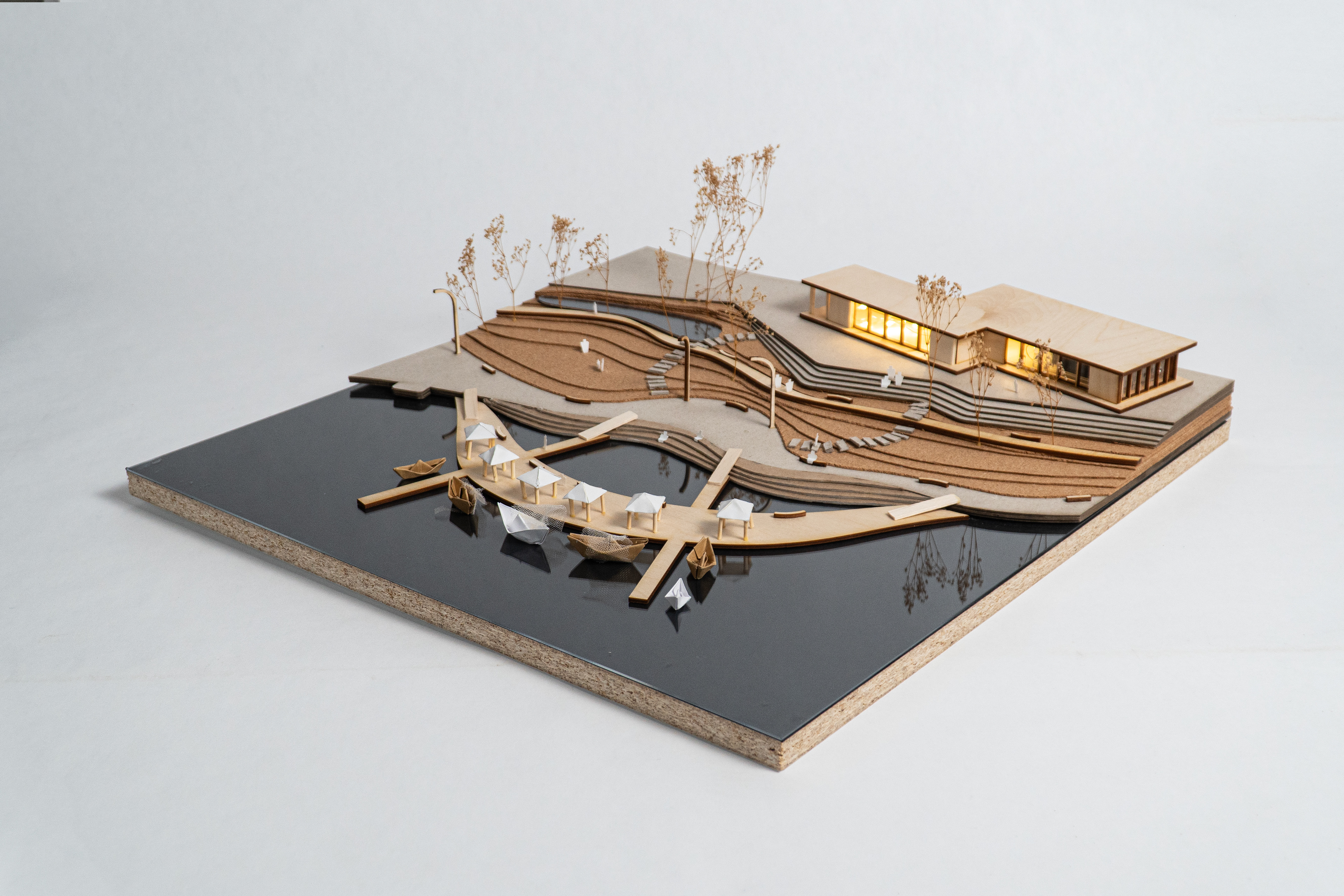
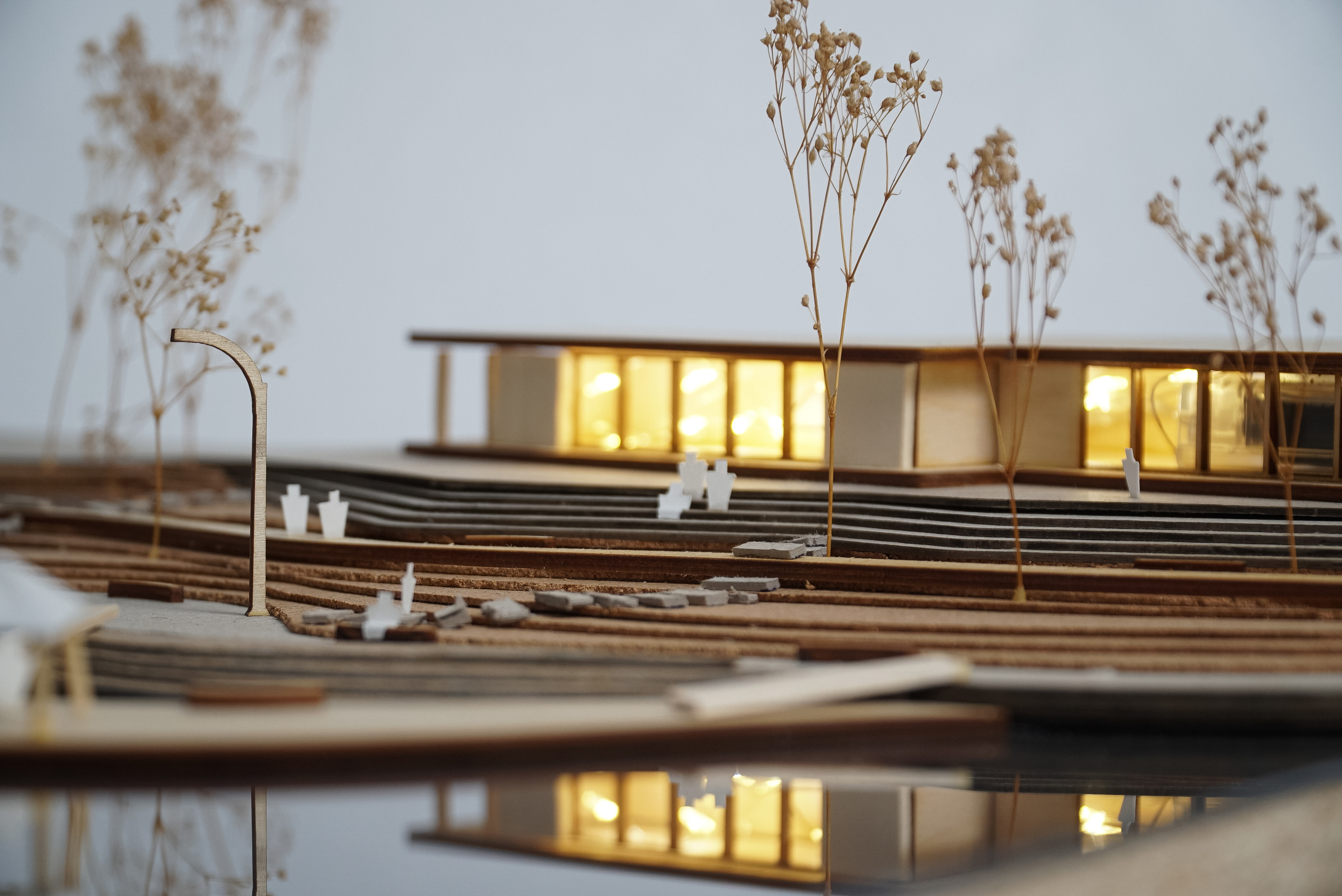
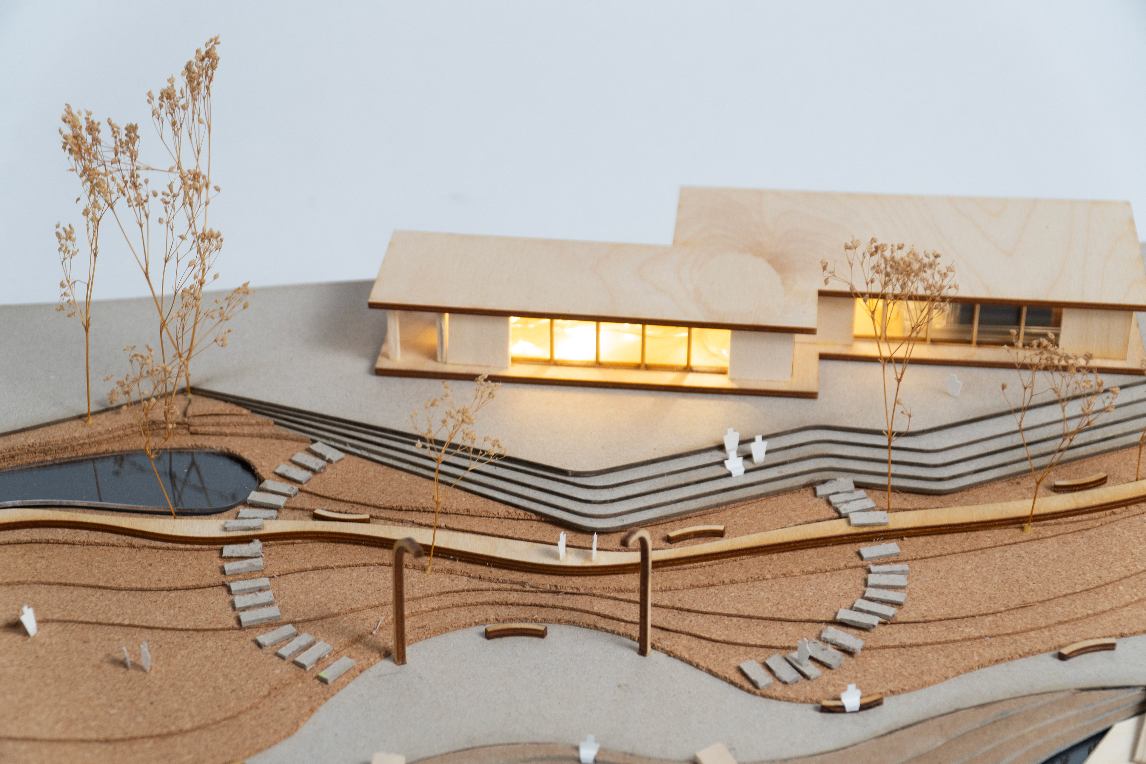
Model Photos
Physical model of the proposed development.
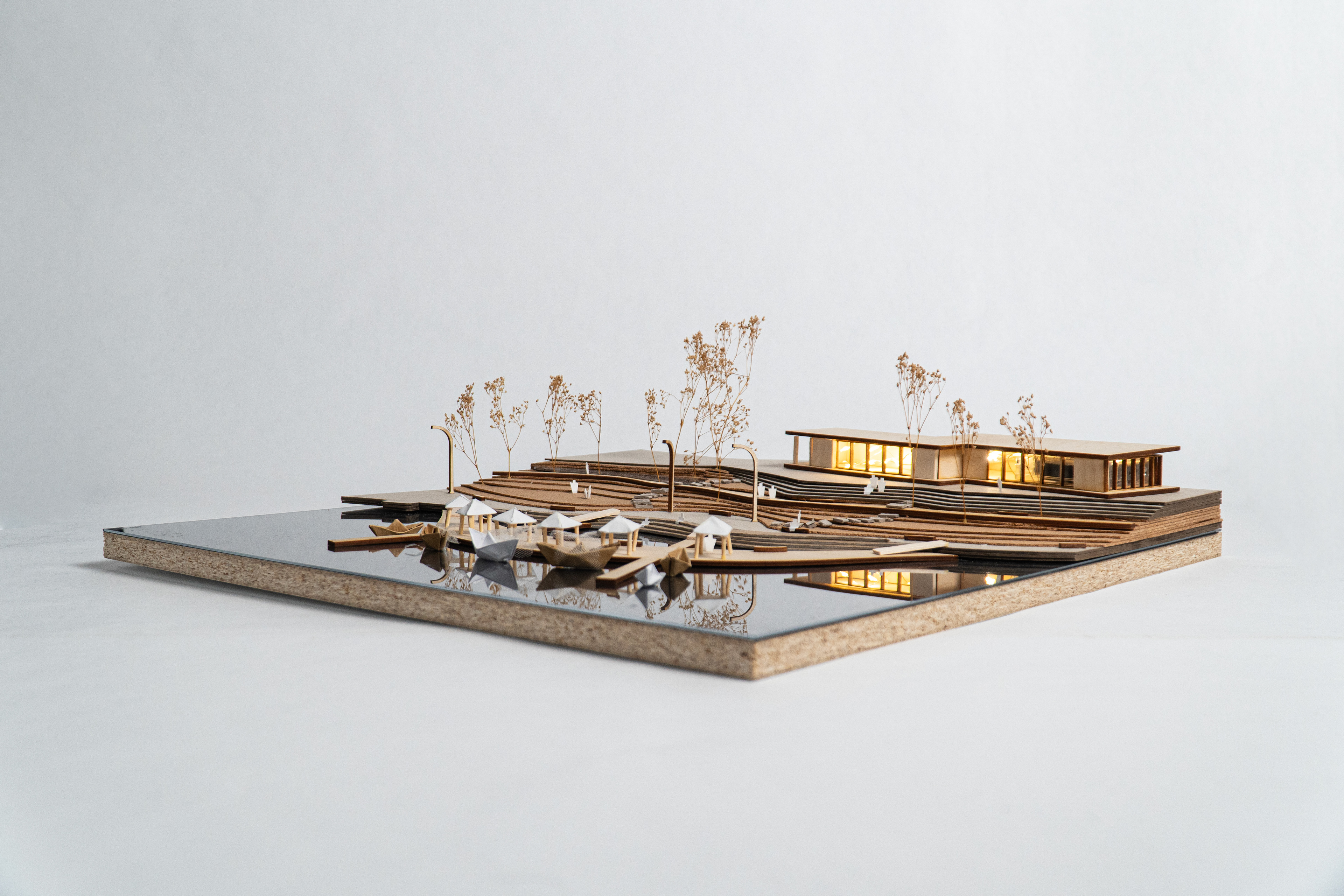

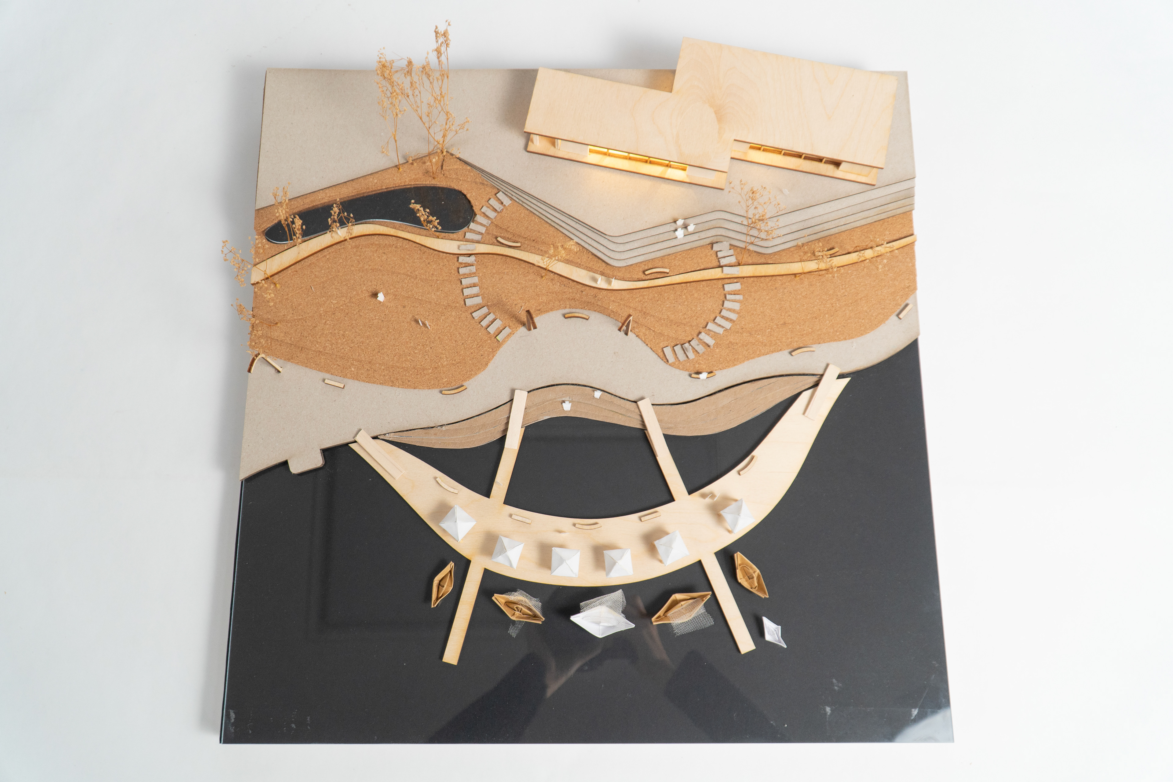

Diagrammatic model of relocation of underground facilities above ground and relocation of Creekside Park.